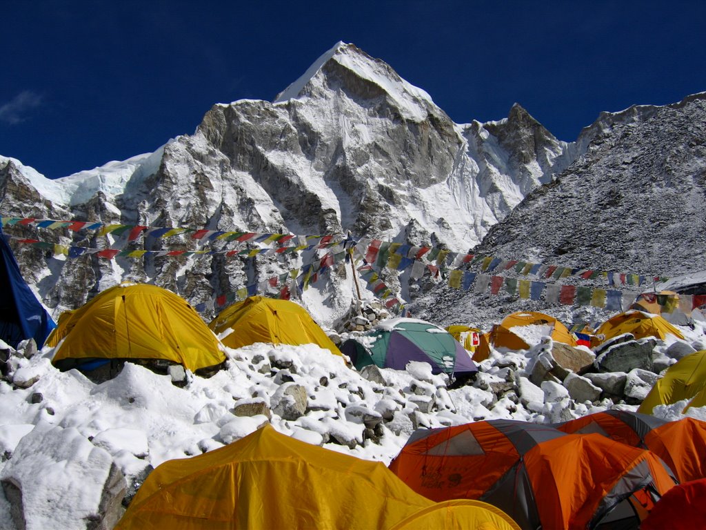
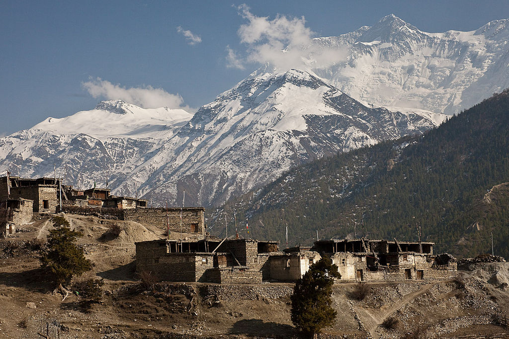
The structural damage in two popular trekking trails in the Annapurna Region following the earthquake of April 25 and aftershocks thereafter is very minimal, according to a study commissioned by the Ministry of Culture, Tourism and Civil Aviation.
The study carried out by Miyamoto International — a global engineering, construction management and project management company — only 3 percent i.e. 6 out of 250 accommodations along the trails have suffered minor repairable damages. “All 30 bridges on the trails are safe. Only around 250 meters track on the trails needs to be rerouted,” the report states.
The study was funded by SAMARTH-NMDP — a program supported by UKAID.
Kit Miyamoto, team leader of the assessment group, said Annapurna Region is open for business for autumn and that the region is completely safe. “However, there are some areas that have been identified as having a particularly high hazard level due to their existing features or geometry. For example, very high rock slopes and areas with evidence of historic large rock fall and slope instability,” said Miyamoto.
Minister for Culture, Tourism and Civil Aviation Kripasur Sherpa said this independent assessment will help to clear negative message about Nepal in the international market. “Now we can tell the world that trekking in the region is completely safe,” he added.
The assessment team has suggested carrying out a detailed risk-assessment study of some areas including assessment of likelihood of failure, occupancy of specific areas of trail and villages, and combining these with hazard to assess the risk. “It is recommended that a detailed hazard and risk assessment is undertaken at Bagarchhap to better understand the slope stability and rapid deposition risk to villagers and tourists staying in the area. Until such time as this is complete, we recommend that the risk present at the village is considered intolerably high for overnight occupancy,” the report stated.
It has also recommended placing ‘Landslide Hazard No Stopping for 2 km’ signage on either side of the new regolith landslide north of Bhratang.
“We also recommend re-routing the section of track that is located at the scarp of the large rockslide between Kimrong and Chomrong or Jhinu Danda which is located within 2 meters from the edge of the failure. The track should be located at least 100 meters upslope from the edge of failure,” Miyamoto said, quoting the report. “The section of track that requires re-routing is approximately 250 meters long.”
The report has recommended abandoning the older section of trail south of Ghasa that leads to the old foot in favor of the road located further west that leads to the newer bridge due to landslide hazard.
“All the frequently used tracks should be checked for new failures and rock fall following monsoon rains each year,” the report states.
Follow and share our more detail from our social media ; Facebook, Pinterest and Twitter.
Source: Myrepublica
Contact Us:
E-mail: sales@samratnepal